United States · permanent state record · MD
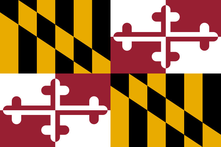
Maryland
Maryland at a glance
- Capital
- Annapolis · P6 on the national map
- U.S. Census Bureau, Guide to 2010 State and Local Census Geography: Maryland · Capital field in the Census state geography guide; source page checked 2026-09-13. This is a federal secondary reference, not the designating constitution or statute.
- Admitted to the Union
- 1788-04-28
- U.S. Senate, Maryland: States in the Senate timeline · Federal institutional history; this is a secondary reference to the act, ratification, or proclamation establishing statehood, not the enrolled act itself.
- Total area
- 12405.9 square miles
- U.S. Census Bureau, State Area Measurements and Internal Point Coordinates · Total area: land and water.
- Population
- 6,265,347 people
- U.S. Census Bureau, Vintage 2025 Population Estimates · Vintage 2025 resident population estimate.
- ZIP Code range
- 206–219
- U.S. Postal Service, ZIP Code system · Summary of ZIP Code prefixes principally assigned to the state; ZIP Codes are routing constructs, not geographic boundaries.
- Area codes
- 227, 240, 301, 410, 443, 667
- North American Numbering Plan Administrator, NPA reports · In-service geographic area codes assigned to the state.
Selected dated milestones · not a complete state history
Maryland through time
Admitted to the Union
Maryland was admitted to the Union on 1788-04-28.
U.S. Senate, Maryland: States in the Senate timeline · as of 2026-09-04